
Geography & Built environment
The Maspeth IBZ covers roughly 1.2 square miles (768 acres) along the Newtown Creek making it one of the largest among NYC's 21 IBZ's. The IBZ's industrial building stock accounts for roughly 14.6M square feet of productive space. Industrial buildings in Maspeth vary in age. Though many were built in the 1950's and 1960's, significant construction also took place in 1929-1930 and in the early 1980's.
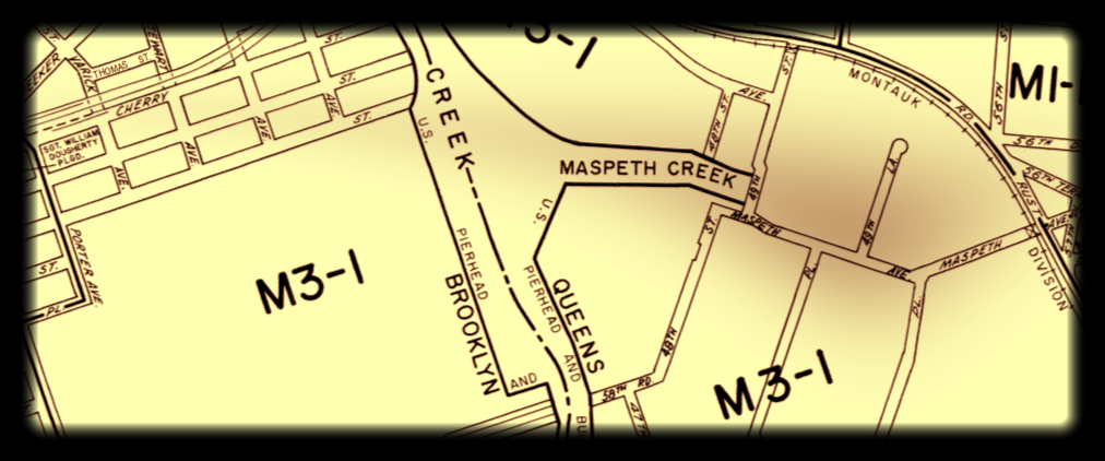
Click on the map below to learn about particular parcels within the IBZ. Data is derived from the NYC Department of City Planning PLUTO(v18.1) file which merges tax lot data with features from the Department of Finance's Digital Tax Map. Access the PLUTO data dictionary here.